
Discover the role of AI on board satellites in the fight against global warming!
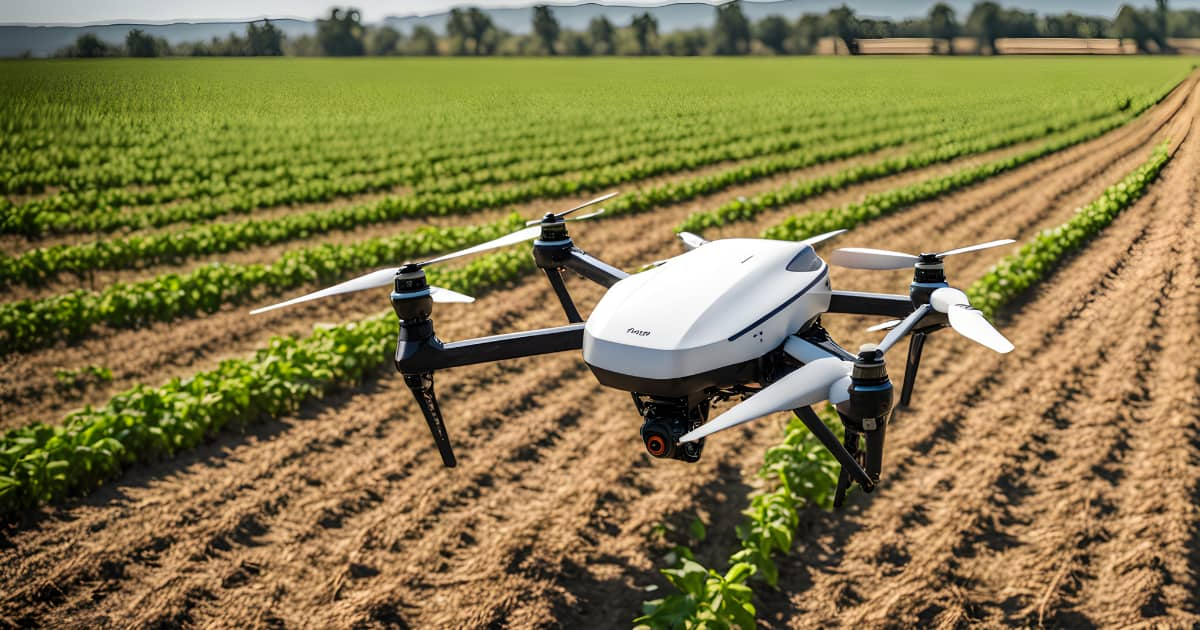
In the age of smartphones and videoconferencing, the volume of images transiting over our networks is growing very rapidly. The same is true in space. The number of civilian or military satellites that observe the earth has quadrupled over the last three decades1. To cope with this flow of new images that tell us more about the state of our planet, Machine Learning technologies can be used.
Indeed, the success of ML is based in part on its performance in image analysis. Its use has already been democratized in many sectors such as aeronautics, defense, medical etc. This influx of new observation satellites follows the immediate effects of the climate emergency.
What is the role of satellite imagery in environmental observation?
Many scientists and engineers first used ground-based AI to process image volumes. Now they are looking to embed AI in the satellite imaging system to increase performance and reduce transmission volumes.
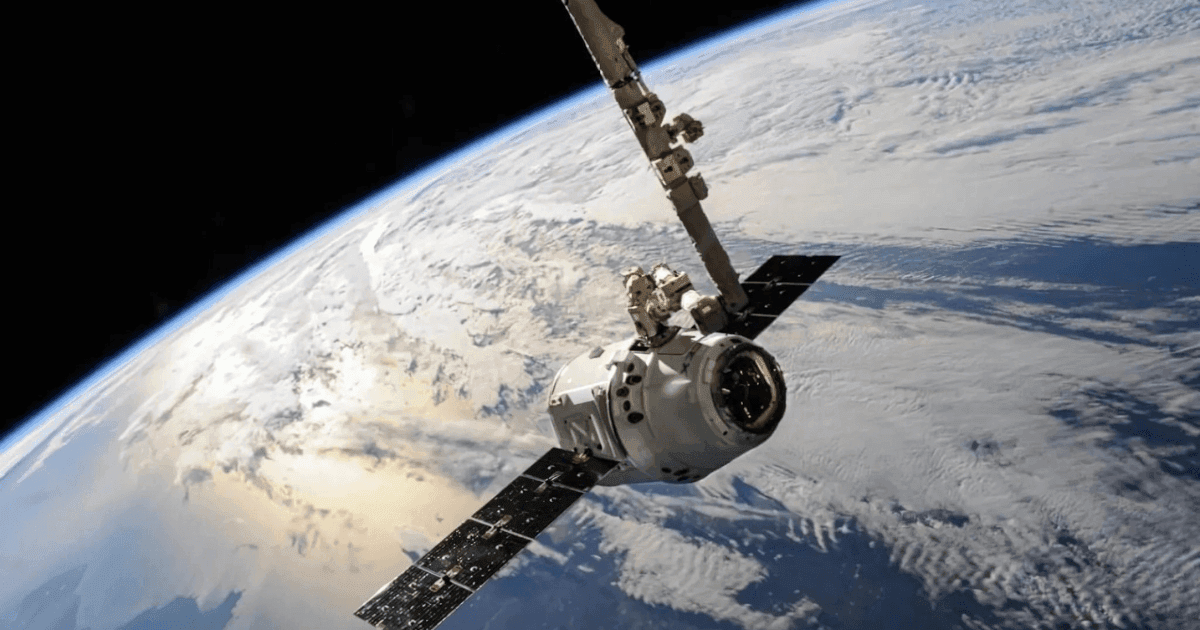
In 2020, the first Earth observation satellite equipped with artificial intelligence was deployed by the European Space Agency (ESA)2. Although only recently used in the medical field, satellite imagery has already been contributing to the fight against global warming for several years.
Indeed, the images sent from the satellite provide a detailed observation of the state of our planet. Up to a resolution of 5 meters3. This plays a key role for example in the monitoring of sustainable development objectives. The drastic decrease in the cost of putting a satellite into Earth orbit over the last decades has strongly stimulated this activity. As a result, satellite transmissions have exploded, from only 500 in 1990 to 2063 in 2020. Among them, 38% were dedicated to earth observation4. Their role, like the Venµs nanosatellite launched in 2018, is to provide indicators that reflect the state of an ecosystem (forests, oceans, rising or falling temperatures5.
How to manage an ever incrasing flow of images to process?
However, the multiplication of the number of satellites necessarily gives rise to a proportional increase in the volume of images to be processed and analyzed by meteorological researchers. The increase in volume is also explained by technological progress. Indeed, the recent sophistication of satellite imagery equipment allows to send more and more images, in higher resolution. Consequently, the volume of climatological images to be analyzed by humans is growing exponentially.
Since it is not possible to increase the number of climatologists and climatological data analysis specialists to the same extent, automation is necessary. Image analysis by AIs solves two problems. First, on the ground, where it assists scientists by automating image analysis to reduce their workload. Without the implementation of machine learning solutions, specialists would find themselves faced with a bottleneck when faced with the volume of data to be analyzed.
Then on board the satellite, image analysis reduces the volumes to be transmitted and therefore the energy requirements of the satellite for these transmissions6. Reducing the volume of transmissions is essential because they are carried out by radio waves. However, these waves are increasingly congested and even saturated, and this is not going to get any better. It is becoming urgent to transmit only useful information, and not mounds of raw data. For example, the use of Machine Learning allows to detect the presence of clouds obstructing the content of the image and to avoid sending it if it is not useful on the ground.
AI use cases in satellite imagery
The continuous observation of our planet allows to follow the evolution of all environmental factors. Thus, it is possible to follow the melting of ice, deforestation, drying or rising waters on certain territories. AI compares satellite images and identifies any environmental change even in areas that are not inhabited or that do not have a climate monitoring system on the ground.
But the role of AI in the analysis of satellite images does not stop at simply detecting changes. Indeed, it allows the design of tools whose goal is to predict the climate evolution of a territory and to launch alerts if necessary. It is, for example, possible to establish a tool for detecting rising waters that will send an alert to the meteorological center to warn of an upcoming flood.
A project conducted in 2020 by the Alan Turing Institute aimed to identify, track and study the disintegration of icebergs in the Amundsen Sea via a machine learning technique. These AI algorithms were thus designed to predict the evolution of ice floes and potentially reveal and predict the evolution of iceberg populations and their trajectories in coastal seas7.
Artificial Intelligence offers the possibility to analyze and cross-reference a large number of climate variables. The combination of terrestrial and spatial data provides essential data to establish correlations between these variables. This in order to better understand environmental issues and to provide solutions. It provides all decision-makers (NGOs, governments and ordinary citizens) with key elements for reading the evolution of the climate and its impact on our lives.
- Toujours plus de satellites au dessus de nos têtes | Statista ↩︎
- [En images] L’intelligence artificielle grimpe à bord des satellites pour améliorer l’observation de la Terre ↩︎
- Images satellitaires et drones, de nouveaux alliés contre le réchauffement climatique ↩︎
- Combien de satellites tournent autour de la Terre ? ↩︎
- Your gateway to Earth Observation ↩︎
- En 2022, Grenoble surveillera l’état de la planète depuis l’espace – France Bleu ↩︎
- Improving tracking of iceberg populations in the Southern Ocean | The Alan Turing Institute ↩︎